How to get as far from roads as you can
In planning a backpacking trip, my friend Brian came across some information that there’s a location in the south part of Yellowstone National Park that is farther from a road than any other point in the lower 48. This of course intrigued me, so I looked into it further. This is what I’ve found:
The USGS recently created a dataset called NORM-ED (http://rmgsc.cr.usgs.gov/trip/data/) that calculates the distance in meters from any location in the US to the closest road. Of course the definition of road might be debatable, but for now let’s assume they picked a good one.
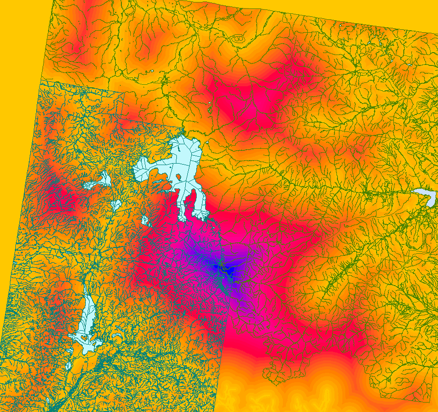
Loading the dataset in ArcMap shows us something that looks like this:
Adding some extra geo-data to identify what we’re looking at (and changing Colors):
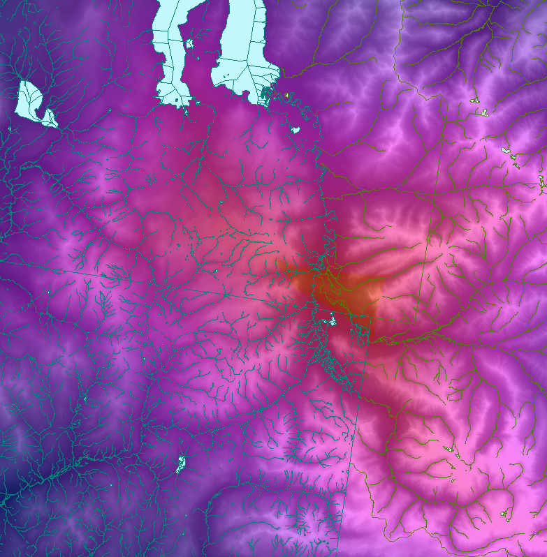
Zooming in quite a bit, and changing colors again shows this:
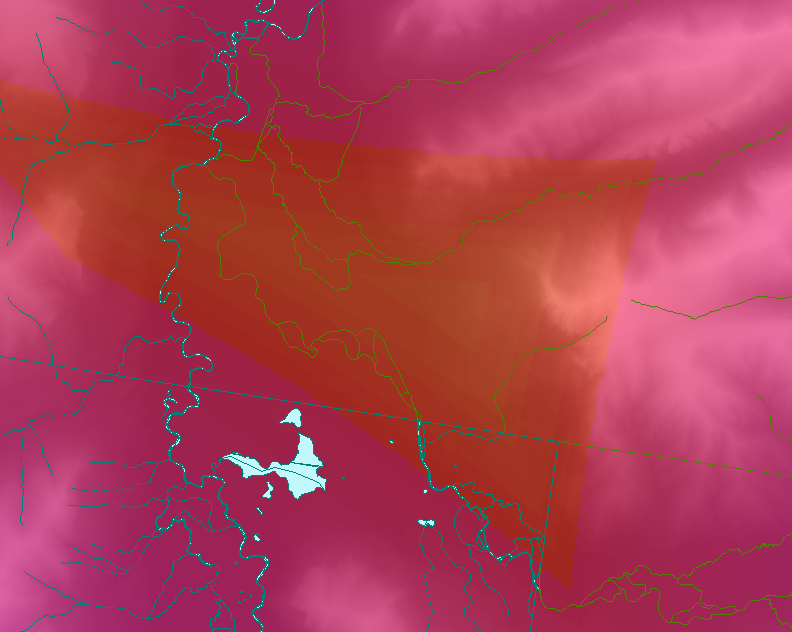
Zooming up on the “high” data points gives us this (note the shapes of the mountains):
Plotting these coordinates on google maps gives us something a bit easier to look at:
The google maps pin puts the spot at 44.146862802512736, -110.07588386535645, however this is a reasonably rough estimate, however I expect it to be accurate within several hundred feet. (NORM-ED Data is only calculated every 30 meters). The value from the NORM-ED data is roughly 34941 meters.
Well, looks like I have a destination to go find!


